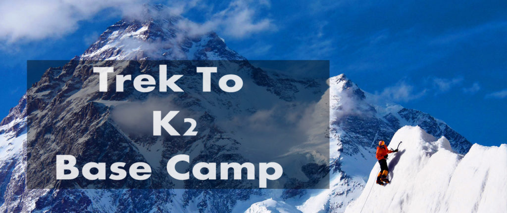
Trek to K2 Base Camp
Towering at 28,251 feet above sea level, the legendary K2 is the second highest mountain in the world. It is located in the north-western Karakoram Mountain Range on the Pakistan—China border between Gilgit Baltistan and the Taxkorgan Tajik Autonomous County of Xinjiang, China.
K2 is known by many names: the Savage Mountain, Mount Godwin-Austen, Chhogori, Qogir. A notoriously difficult mountain to climb, it has the second-highest fatality rate among the eight-thousanders.
Extreme weather conditions and avalanches make a trek to K2 impossible during the winter. However, summers bring in a huge influx of casual adventurers and hardcore mountaineers from both Pakistan and abroad. The trek to K2 is a strenuous, adrenaline-filled journey of around 3 weeks. It’s not for the faint-hearted.
The journey commences from Islamabad; people reach either via plane from Islamabad to Skardu or by road i.e. the Karakoram Highway. The official starting point, however, is Askole— the last town before the Karakoram ranges— located in Shigar Valley, Gilgit Baltistan. After a 7-8 hours’ drive, groups set camp and stay overnight at Askole.
From Askole it is onwards to Korophone and then Jhula— a wooden suspension bridge over the Dumurdo River. Enroute one can catch a glimpse of the massive Biafo Glacier extending from the central peaks of the Karakoram and flowing east into the Braldu Valley. After a night of camping, it is time to depart from Jhula to reach Paiju, trekking along the Braldu River.
The magnificent Baltoro Glacier, one of the longest glaciers outside the polar regions, can be viewed on this route. After a stopover at Paiju, the group sets for Urdukas. From Urdukas you ascend along the Baltoro glacier till you reach Goro camp and then Goro II camp just ahead. The entire route runs along the Baltoro glacier. Crossing the Yermanandu Glacier, which flows down from Masherbrum and joins the Baltoro, you will be treated to breathtaking views of the peaks of Muztagh, Mitre and Gasherbrum IV.
The next destination is the famous Concordia— the meeting point of Baltoro, Goodwin Austin, and Virgin Glaciers. The exquisite mountainous panorama offered here is unique to Pakistan only. Concordia base camp heralds a day of rest and acclimatization.
From Concordia it is time to trek to Ali Camp. On this day of Gondogoro La Trek, depending on weather and snow conditions on the lower slope of the high pass, the support crew will fix ropes. It normally takes around three or four hours to reach the top of Gondogoro La Pass. One can enjoy a splendid view of four of the 8,000 meter peaks, specifically Gasherbrum 1 and 2, Broad Peak and the mighty K2.
Then, it’s downwards to Dalsampa. Participants trek on Gondogoro Glacier’s moraine, walk below and cross Peak of Laila. Trek down to Saicho via Gandogoro Valley. The valley soon comes to a sudden end where we are left with two options of the trail. The first option is to trek down between cliffs and the glacier. The second option is to move forward on the cliffs. Guides will make a decision based on discussion with local porters.
As the journey approaches its end, the group treks back to Askole. After camping overnight, it is time to drive back to Skardu.
K2 Weather
Naturally, the weather at and around K2 alternates between extremes of cold. At the summit itself the temperature is somewhere between -15°C and -65°C. The best time for a trek to the base camp is during the months of June, July and August.
